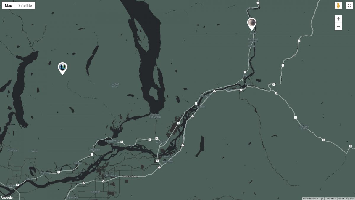
So I think the first thing and probably most important is to know where I am going. The beginning of my journey had started with building John Green’s map which can be found here. Just to be clear this is only the data for my general neighborhood and does a heck of a job showing hot spots. The trend seems to be south of the Fraser River. But I’m not going to limit myself, except for one important limitation. I will not trespass on private land (without permission that is) and I will not ever go onto Native land without a invite and a host to take me. And to be certain I’m not trespassing on Native Land I’m using this government map that shows Treaty land. As they say this is not complete but it’s all I have to work from currently.
And I have a pretty clever trick up my sleeve when it comes to having a wealth of trackers helping me. You see, the Harrison Lake area is chock full of retirees. And many of those retirees are amazing and dedicated nature photographers. And by dedicated I mean they are out every single day catching the Golden Hour at dawn and dusk in the most beautiful and remote areas of our wilderness. Read exactly what Golden Hour is here. And it just happens that Bigfoot also loves the golden hour to be out and about and even better is that the sunlight casts wonderful shadows across footprints.
So in exchange for possible Bigfoot footprint photos that are geotagged I give them free website and tech support. So far I have a decent hand full of amazing photographers agreeing and we’ll see how it goes…